Kargilik
Getting
to Kargilik | The
City | Beyond Kargilik
Beyond Kargilik
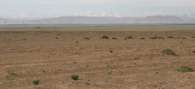 MAY 29 - It doesn't take long to leave civilization
behind as we 4WD south from Kargilik along one of the Silk Road
routes. The pavement quickly turns to dirt as we head toward
Mazar, 240 km south. The landscape turns to desert dotted with
small oasis villages.
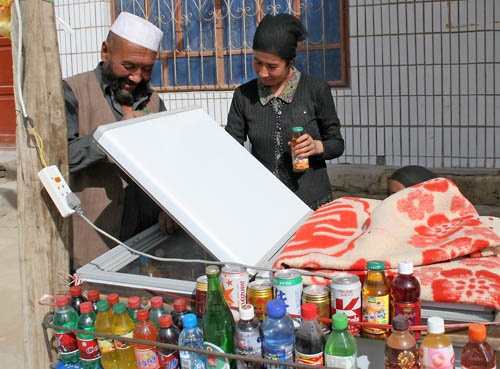 We stopped for drinks in the small village of Kokyar.
This was where I first learned the power of a digital camera
as an icebreaker. The proprietor and his wife let me take their
picture but were a bit uncomfortable...
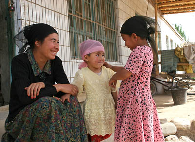 ...but once they saw the result on the camera's display,
they were enthralled. They wanted more pictures, particularly
of their daughters. Several of us took photos and plan to mail
prints to them.
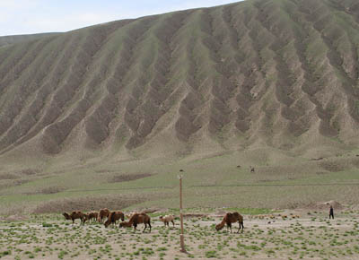 Occasionally we would see camels grazing near the
road. Camels in this area are the two-humped, Bactrian type.
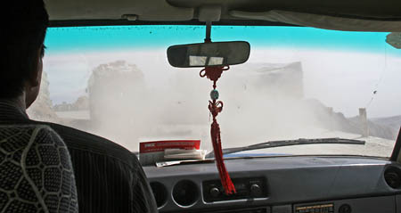 Soon we began ascending the dusty road into the mountains.
Bill DeYoung and I were in the lead car, driven expertly and
rather briskly by Mr. Guo. Here, we pass a truck on the narrow,
winding road. Note the wimpy guard post and the dropoff on the
right.
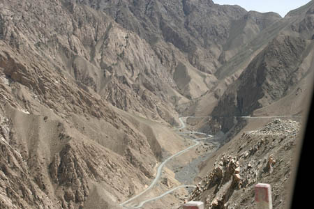 Here's a better view of the dropoff on the right!
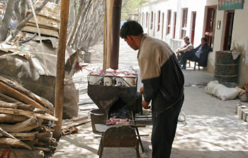 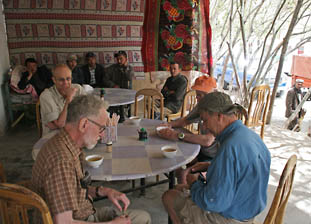 We ate lunch in the village of Kuda, in a river valley
between a 3,150 meter and a 5,000 meter pass. Half the group
ate kebabs and noodles at a Muslim restaurant (pictured) and
half went to a Chinese restaurant next door. The village is adjacent
to our first army checkpoint and seems to be a popular place
for truck drivers to stop for a bite to eat.
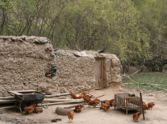 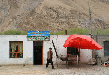 A home and another restaurant in Kuda.
So where are the pictures of the army checkpoint?
Photographing anything related to the military is strictly forbidden
in China. Here's what happened. Our driver pulled up to the randomly
placed white line at a distance behind a red and white gate and
headed for the military office on foot. The officer on duty noticed
that he was, oh, a good 5 inches over the line and made him return
to the vehicle and back up. The rest of us headed into the office
with our passports and visa. After inspecting our paperwork,
the officer sent us through the small building to the other side
of the red and white gate, where our vehicles were now waiting.
Whatever.
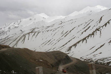 As we headed toward the 5,000 meter pass, the landscape
became even starker and more lifeless, and the surrounding mountains
were covered with snow.
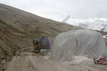 Just before the pass, we had to work around an overturned
truck which nearly blocked the road.
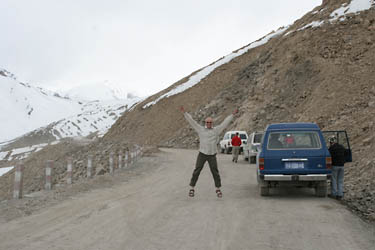 Jumping jacks at 16,000 feet. In less than 12 hours
we had ascended from 4,000 feet to 16,000 feet. All I can say
is that I sure like Diamox.
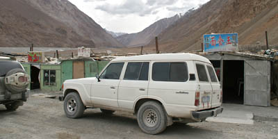 We arrived at Mazar in the late afternoon. This is
the point where we departed from the Silk Road route and headed
up a dead-end valley toward Yilik, where the camels were waiting.
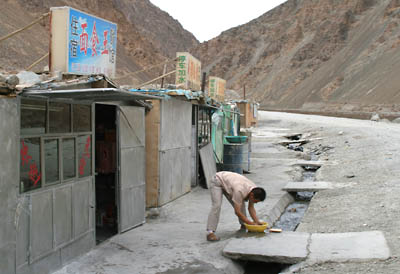 State-of-the-art plumbing in Mazar. This fellow was
washing his hair.
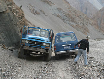 The side road to Yilik was considerably bumpier and
hard to negotiate. Here, our guide Dulkin helps the driver pass
a truck using the very soft shoulder of the road.
 Uh oh. This was the point in the trip where our plans
changed. About 14 km before our destination, there was a medium-sized
mud slide blocking the road. A couple of the highest-clearance
4WD's powered over the mud and rock and found that there was
a larger, impassable slide half a mile up the road. To make matters
worse, there was nowhere to camp near the mudslide...
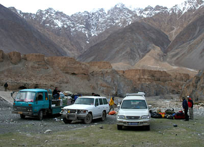 ...so we backtracked about 2 km to a large meadow.
This would be the end of the road for the trucks. The next morning,
we sent a staff member ahead on a passing motorcyle to talk to
the camel drivers, who were still 16 km away and didn't know
our predicament. We would have to wait another day after that
for the camels to return and be outfitted for our journey.
On to The
Trek...
|

